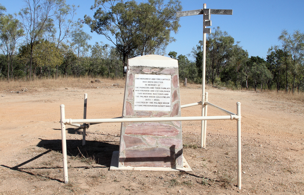
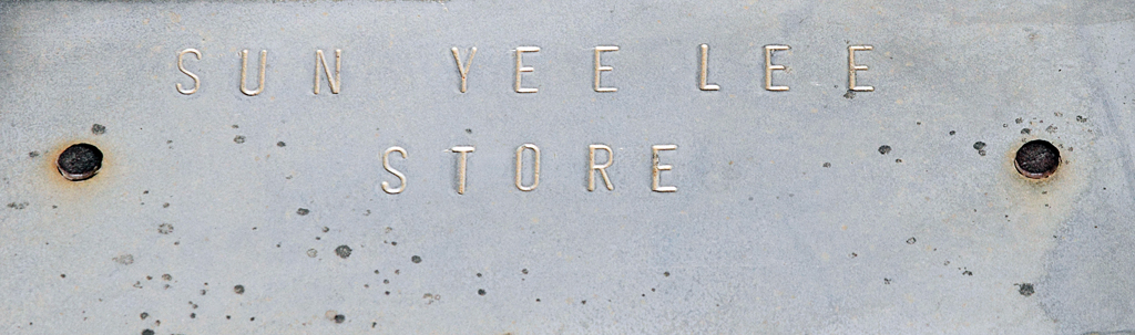
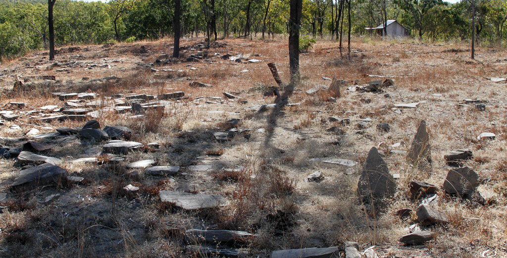
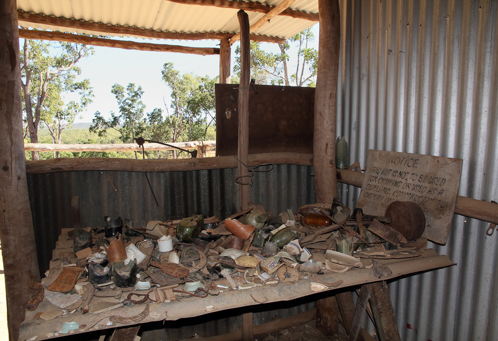
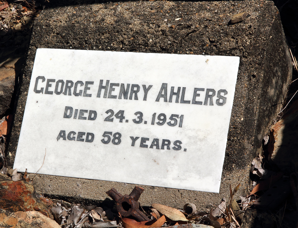
7/8/13 – There is a lot of history in Maytown. Not just the mining past but the lives, shattered hopes and dreams of the people that lived here. The reality of what a harsh land this can be for little gold reward.
We were the first ones here for the day. We signed the visitor information book and noted a few “my swaggers” names we recognized. 🙂
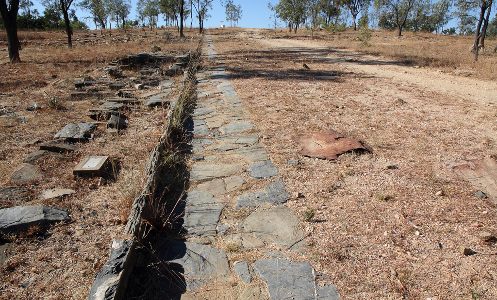
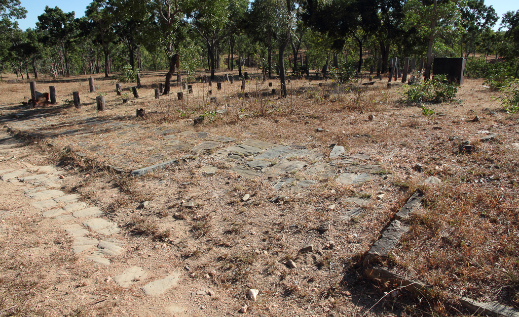
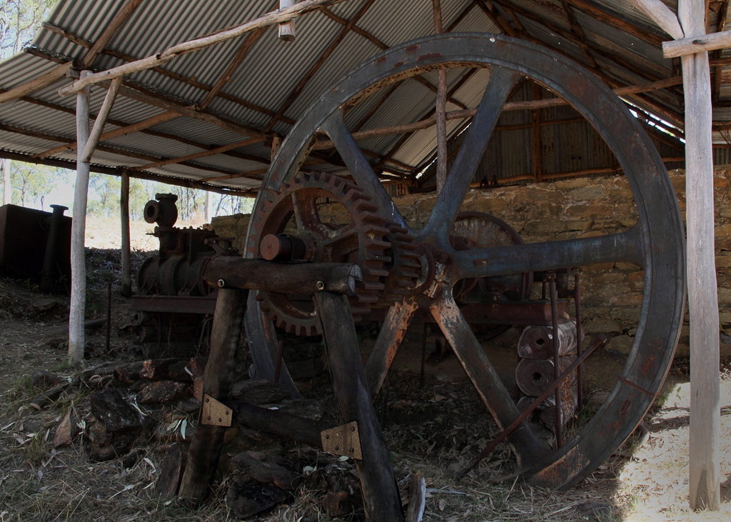
The amazing “Guttering Stones” kerb and guttering. They are still in relative good condition.
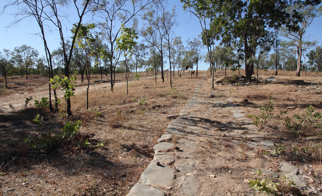


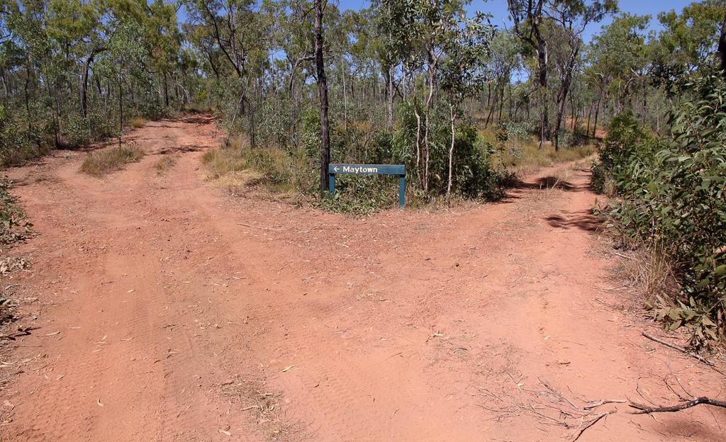
After we had explored the main town we went back and covered some of the things we missed coming in late yesterday.


We explored the area for several hours before heading off down the Palmerville Road just after 11am. When we rang the Palmer River Roadhouse about road conditions and if we could drive these roads safely. We were warned not to stop, not to camp and do not go off the main road within the property limits of Palmerville Station. Apparently he has a shot gun and he isn’t afraid to use it. Allegedly he is up on charges for suspicion of murder and other offensives. In the past he has put up a gate and charged people to go through his property. We had also read he has apparently built fake roads that lead to nowhere to confuse and I would say frustrate travellers. The road was re built to bypass his station or a section was purchased something like that to allow people to pass through. He doesn’t sound like a very friendly fellow and one to avoid.
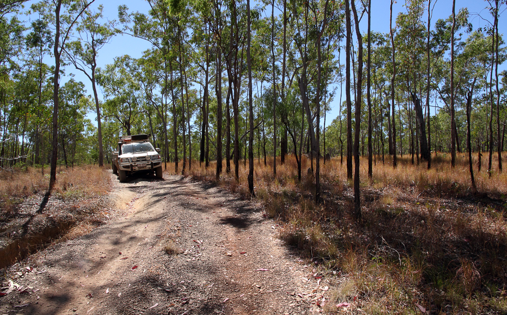
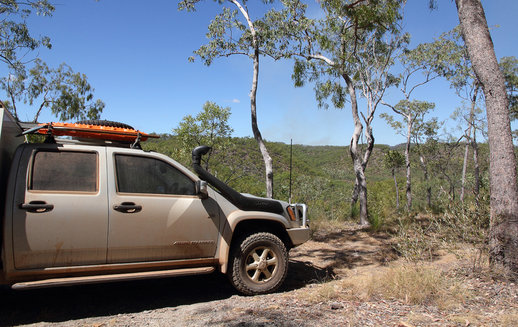
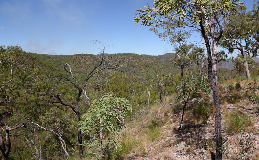
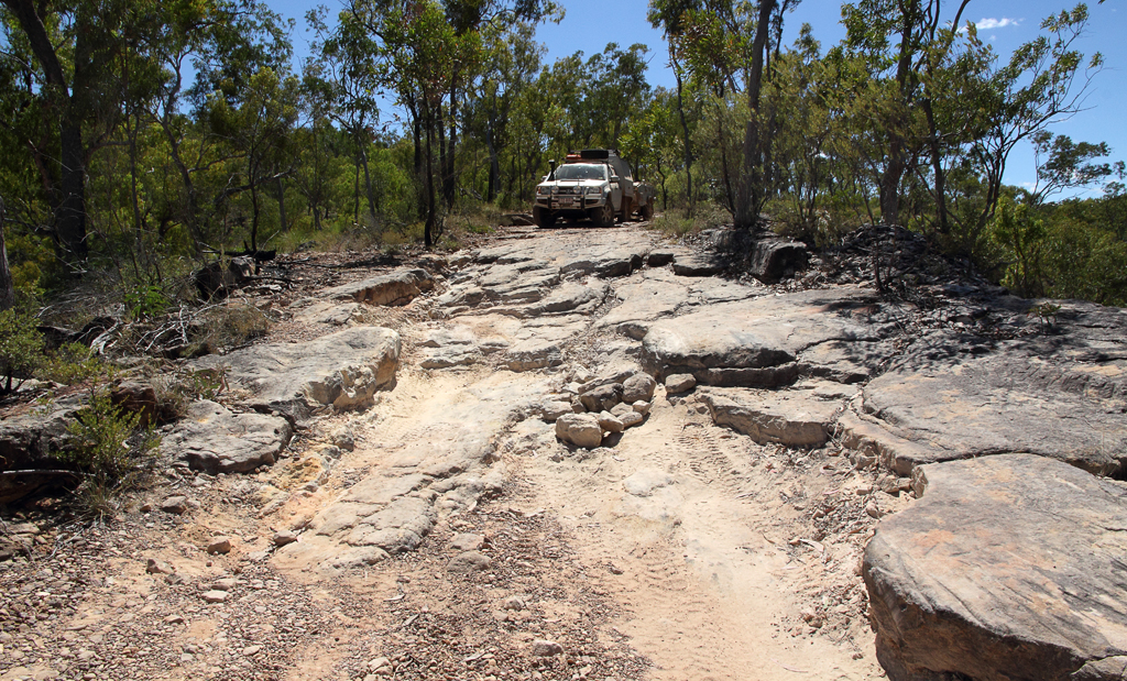
The road is a well maintained wide gravel road, very windy and hilly; there are several creek crossings that were mostly dry. It is actually a pretty drive with some things of interest along the way.

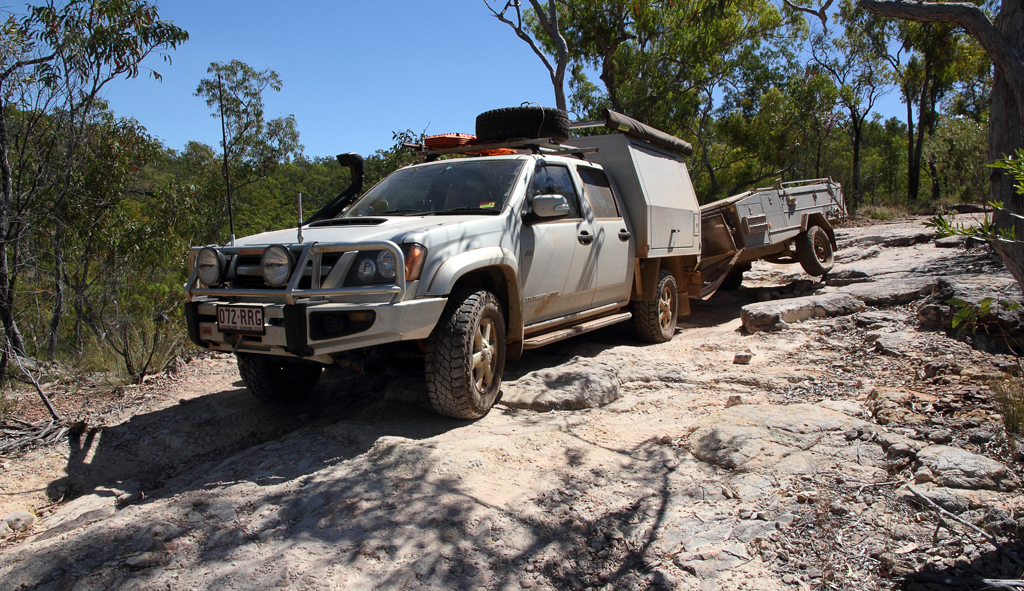
There is a closed gate that needs to be re closed as you pass through it. The road is narrower and less maintained here. One assumes we are now on Palmerville Station property. There is a wide creek crossing with several roads leading off, take the road to the right, the left which seems like the main road leads pass his house. We took the wrong one at first, did a U turn and passed some station hands and we assume the owner and asked if we were on the right road to Chillagoe, he seemed friendly enough. Crikey we are told don’t stop, stay on the main road and we drive up to his house do a U turn and have a chat :O

We think this road is the new road that was built to bypass Palmerville Station, apart from where is crosses the old road just below his house. 19.2 km down the road it joins backup with the main road. The road continues to improve as we head towards the Burke Development Road. Few more creek crossings and another 4 closed gates, still very very dusty.
We stopped for a late lunch once we were on the Burke Developmental Road, heading to Chillagoe.
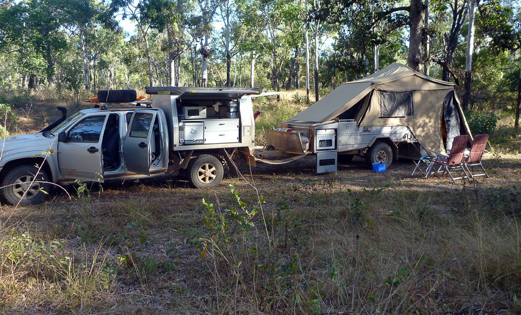
We stopped for the night approx. 60 km out of Chillagoe, found a road that went into an open dry grass area next to a creek where water trucks had been filling up from. We went a bit further in following some tracks and have a great spot hidden from the road.

Made some fruit scones on the baby webber, pizza for tea tonight.
Click on the link above for a larger version in Google Maps of the days travels.